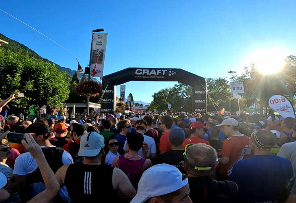
As I publish this, it’s 6 months to the minute till the Jungfrau Marathon starts in Interlaken.
I commented previously that the official elevation profile for the Jungfrau Marathon is rather unhelpful in making the distinction it does between “hiking trails” and “mountain paths” (though I think it in turn is only taking information from the standard Swisstopo maps, where the width of the route is a key determinant once we reach “unsurfaced”). In particular the two green sections are very very different, and the first green section is not wildly different from the last red section in conditions even if some is steeper.
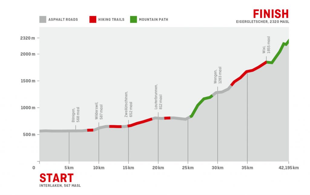
I’ve now watched a number of videos of parts of the Jungfrau Marathon, and they’ve given me a much better idea of what to expect, and how to conceptualise and compartmentalise the route. I’ve divided it up into 12 sections:
- 10km or so to Wilderswil is almost level (20m net gain) and almost all tarmac
- 5km or so to Zweilütschinen has a little ascent (70m net) and more paths but generally easy underfoot (as trails go)
- 5km or so to Lauterbrunnen has more ascent (147m net) and mostly on paths (some quite narrow) but generally easy underfoot (for trails)
- 5.8km loop to the south and back to Lauterbrunnen is mostly roads and slightly net downhill as far as the railway bridge
- 0.5km start of the serious uphill, on tarmac (60m ascent)
- 1.5km very steeply uphill on gravel and compacted earth (300m ascent) – the killer “Wall” with multiple switchbacks
- 1.3km slightly undulating on gravel etc (30m net gain)
- 2.8km looping into and around Wengen on tarmac roads and paths, undulating but trending upwards (120m net gain)
- 1km steeply uphill on tarmac out of Wengen (110m gain).
- 5.6km of almost relentless climbing but at varying gradients on gravel roads to Wixi turn off (440m ascent)
- 0.4km descending to the end of the gravel road
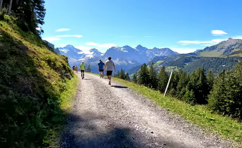
- 3.3km of hiking paths, some extremely steep (net gain 492m), a lot of challenging rocky footing, but some grass and some fair footing, and a few flatter sections – so a need to be prepared to accelerate for short distances and at times shuffle between paces very frequently. Includes 300m or so of flat and a little downhill near the top followed by the last uphill 0.65km to the finish.

I think I will find this helpful in thinking about a number of things. First, pace calculations, which are driven by a combination of elevation gain and footing. Second, in thinking about what I need from training and how that translates to the real world. And third, mentally in knowing that though I’ve seen many spectacular pictures of the rough paths at the top in their glorious surroundings, they are only 3.3km – the rest is good footing (albeit a lot of trail, with an awful lot of up, some very steep, from which legs may not recover).

While being able to keep going in those final 3.3km on knackered legs will be tough (and the difference between, say, 20 minutes per km and 30 minutes per km is more than half an hour), equally the 38.9km that comes before is almost all decent footing, and so the challenge and the focus (in preparation and on the day) after the first 25.8km is being able to sustain a decent uphill walking pace, and make the most of the opportunities to break into a jog.
Leg strengthening is definitely the order of the day (or some variation of that phrase that covers six months), in addition of course to building endurance for 6½ hours of continuous effort.

Leave a Reply